Potential Area Mapping for Mangrove Restoration in South Gujarat
Location: Gujarat, India. 13th Mar 2013
In 2009, the Gujarat Ecological Education and Research Foundation (GEER) surveyed the mangrove areas of South Gujarat for their floristic diversity and natural regenerative capacity under the Mangroves for the Future (MFF) small grants facility (SGF). The study revealed a remarkable floristic diversity and growth of mangroves in the area, particularly within the presence of the numerous small estuaries intersecting the land. Following this the Ministry of Environment and Forests (Government of India) launched a Centrally Sponsored Scheme for Mangrove Afforestation, extending the scheme to the coastal areas of South Gujarat. Subsequently, the Department of Forests and Environment, Government of Gujarat, sanctioned a special project under the climate change programme to identify the coastal mudflats of South Gujarat where mangrove habitats could be developed, as an extension of the original MFF SGF.
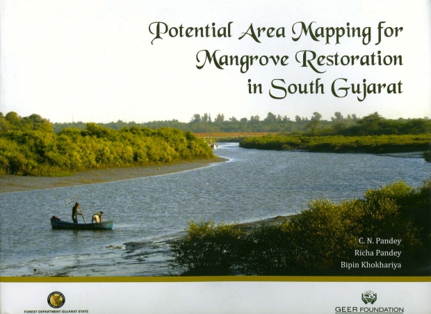
This book, jointly published by the Forest Department Gujarat State and GEER Foundation, identifies Potential Area Mapping for Mangrove Restoration in South Gujarat, with the aim to further the remarkable achievements made by the state of Gujarat in mangrove restoration and conservation.
For copies of the book please contact:
GEER Foundation
Indroda Nature park, P.O. Sector 7
Gandhinagar 382007 Gujarat, India
T: +91 79 23221385
F: +91 79 23241128
E: dir-geer@juarat.gov.in

Potential Area Mapping Mangrove Restoration in South Gujarat, Gujarat, India © Forest Department Gujarat State and GEER Foundation, 2013