Grants :: Small Grant Facilities :: Assessment of mangrove vegetation distribution, fishery and water quality in Nayaru lagoon
Assessment of mangrove vegetation distribution, fishery and water quality in Nayaru lagoon
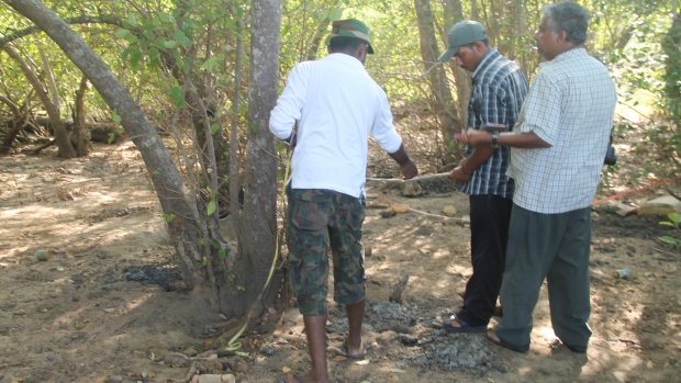
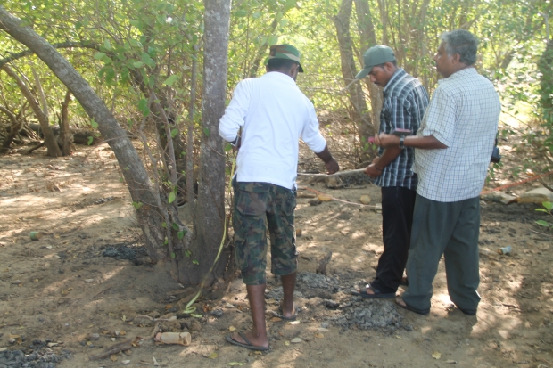
Assessing the diversity of mangroves in the Nayaru Lagoon, Nayaru Lagoon © Kumudini Ekaratne, IUCN SL, 2014
Objectives
Mangrove vegetation distribution, fishery and water quality in Nayaru lagoon assessed for sustainable management of lagoon ecosystem.
Acquisition of high-resolution acoustic data (bathymetry) and compilation of a detail bathymetric map of the lagoon.
Distribution pattern of the filamentous algal mat in the lagoon assessed.
Physicochemical parameters of lagoon water (pH, Salinity, Dissolved Oxygen, Phosphates ad Nitrates) assessed.
Background
Mangrove and lagoon ecosystems in the north and east coasts of the country have not been scientifically exploited for the last 30 yrs due the war situation prevailed in the area. However, with the return of peace to the country the areas are now accessible to the scientific community and hence it’s our duty to evaluate the present status of these ecosystems and make available the information generated to the wider audience.
The lagoon is approximately 300ha in extent. A wide lagoon mouth is located at the southeastern part of the lagoon. Nay Aru and Palidai Aru are the main freshwater sources to the lagoon. Nay Aru and Palidai Aru open to the lagoon from its western side.
Mullativu – Kokilai road runs parallel to the eastern border of the lagoon. Eastern shore of the lagoon supports very little mangrove cover, while well developed mangrove cover is seen in the southern and western shores of the lagoon.
Lagoon fishery is the main livelihood of the people living in Chenmalai and Kumulamunai villages.
Nayaru Lagoon was surrounded by a well developed mangrove and reported to have been supporting a rich prawn fishery. The lagoon also served as very important water bird habitat. However, the recent development activities in the lagoon area have resulted in clearing some mangrove patches and constructing a narrow bridge over the lagoon month. This has lead to the hydrological changes in the lagoon which may lead to the collapse of the lagoon fishery and decline of the mangrove vegetation cover around the lagoon. Lack of recent and reliable ecological information on the lagoon ecosystem prevents the authorities to assess the ecological and economical importance of the lagoon.
The proposed project will collect up to date information on these issues which could then be used by the relevant authorities to make vital decisions for the wise management and sustainable utilization of this lagoon ecosystem.
Activities:
1) Survey of mangroves
2) Survey of lagoon fishery
3) Survey of threats
4) Recording the distribution of the algal mat in the lagoon using GPS and mapping
5) Analysis of physicochemical parameters of lagoon water
6) Establishment of a system for regular consultation with the stakeholders
7) Conducting an awareness programme for fisher and farming community
Target beneficiaries
Community living around the Nayaru Lagoon, decision makers.
Outputs
1) List of true mangrove species and mangrove associates
2) Map showing the mangrove cover around the lagoon with estimates of extent of the mangrove
3) List of fin fish and shellfish species harvested and their price ranges
4) Report on recommended fishing methods/gear and lagoon fishery regulations
5) Report on threats to the lagoon
6) Bathymetric Map of the lagoon
7) Map showing the distribution of the filamentous algal mat
8) Report on the lagoon water quality and possible sources of nutrient loading
Accomplishments and challenges
The project was successfully completed.
Conservation priorities and regulatory activities of the lagoon ecosystem were identified during the study and they conveyed to the relevant authorities (such as the Forest Department and the Fisheries
Department).
Contributions to cross-cutting themes
The project will contribute to the overall biodiversity conservation effort of the country. Protecting the mangrove forest cover is important as the mangrove species will also serve as a sink of atmospheric CO2 .
Findings of the project will be communicated to a wide range of audience including scientific communities and decisions makers.
Lessons Learned
- The Nayaru lagoon supports an undisturbed patch of mangrove along its southern and western shores. There was no evidence to believe that eastern and northern shoreline of the lagoon supported a well grown mangrove. Therefore, the attempts to establish mangrove cover in the eastern shoreline by the Forest Department and some NGO’s continue to fail.
- Lagoon fishery is an important activity for the villagers in areas surrounding the lagoon (Nayaru, Chemmalai, Alampil & Kumulamunai). The lagoon ecosystem is undergoing drastic changes due to some unplanned development activities (mainly road construction) in the area.
- The villagers in the area are in conflict with the security forces over land ownership and lagoon resources use (ie. restriction on fishing). Restoring the social harmony and recognizing the rights of the people is very important. Poverty of the people in the area may hamper any conservation effort on the lagoon ecosystem or its surrounding forests.
- At present people in the area depends heavily on NGO’s which provide aid through foreign funding. Therefore, a well designed poverty alleviation program by the government should be implemented soon to improve the living standards of the people in the area and win their “hearts and minds”.
Project Facts
Country
Location
Nayaru Lagoon
Topic
Duration
26th Dec 2013 to 25th Nov 2014
MFF Grant Amount
LKR 1,863,960.00
Co-financing Partner
Grantee: LKR 300,000.00
Implementing Partner
Ecological Association of Sri Lanka(EASL)
Mr Ranjith KulasekeraSecretaryEASL172, Bogahatenna, Udaperadeniya, Peradeniyaemail: rkulasekara@gmail.com